Toggle navigation
usng
GIS
About
The USNG GIS Data Model
What is the USNG?
-- More Info on USNG
Why Use Grids?
How the Data Model Works
Asset Naming
Benefits
Sample Maps
High-resolution Visualization
Bivariate Visualization
Queries
Starter Datasets
Licensing
How to Use
Data - Population
Data - Land Use / Land Cover
Data - Walkability
Data - Social Vulnerability Index
Acknowledgements
Contact Us
USNG GIS Data Model.
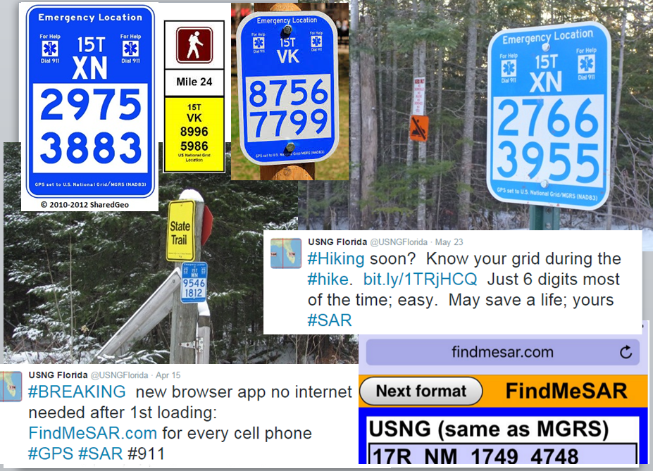
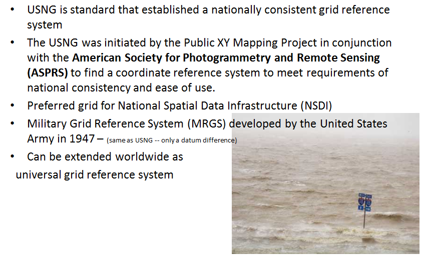
What is the USNG?
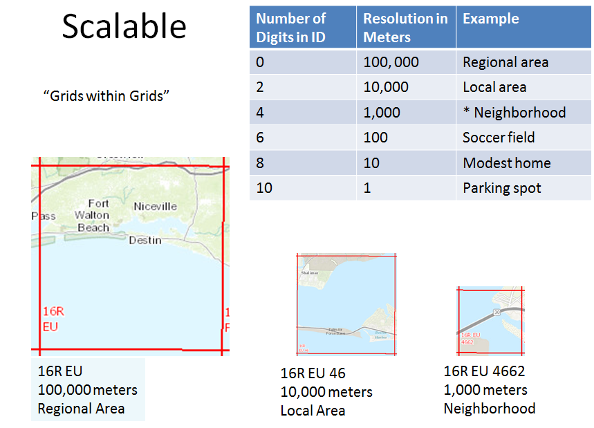
The USNG is a locational system used for search-and-rescue missions and emergency management. It can precisely pinpoint any area on earth using a simple alphanumeric label.
-- Image courtesy Florida Division of Emergency Management